

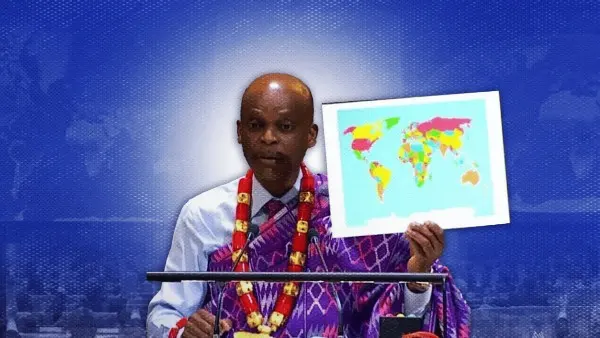
The United Nations General Assembly voted 164-1 to call for a redraw of world maps, citing longstanding distortions in the representation of Africa.
The UN General Assembly voted Sept. 4 to end the use of the Mercator projection as a neutral standard.
The African Union adopted the Equal Earth projection as its standard in March, and the UN vote extended that decision worldwide.
The Mercator projection, created in 1569, depicts Greenland as nearly the same size as Africa, though Africa is actually fourteen times larger. Greenland is closer in size to the Democratic Republic of Congo.
The Equal Earth projection, introduced in 2018 by cartographers Bojan Šavrič, Tom Patterson, and Bernhard Jenny, preserves area proportions. NASA’s Goddard Institute for Space Studies used Equal Earth to chart global temperature anomalies in 2018.
The ‘Correct the Map’ resolution, co-sponsored by the Bahamas for the Caribbean, passed 164-1, with the United States opposed and six countries abstaining: Estonia, Georgia, Lithuania, Moldova, Serbia, and Ukraine.
The resolution urges governments, schools, and technology companies to replace the Mercator projection with equal-area alternatives. The change is expected to affect classrooms in the Philippines and other countries.
Many classrooms in the Philippines still use Mercator-style atlases, not by Department of Education mandate but as a default choice for decades. The projection affects how students perceive the size and position of the Philippines.
The Mercator projection, created in 1569 for navigation, enlarges areas far from the equator and reduces the size of tropical regions.
Not all countries supported the resolution. The resolution describes the Mercator projection as minimizing certain regions. France announced it would stop using Mercator for official maps. The United States opposed the measure, with its deputy UN representative calling the effort a distraction from other priorities.
The UN resolution is not legally binding and does not affect Mercator’s use in navigation. The European Union supported the measure after clarifying it does not address sovereignty or borders.
The resolution targets default map settings in classrooms, printed atlases, and mapping software. It could also affect digital tools used by agencies such as PAGASA and the National Disaster Risk Reduction and Management Council.
The resolution marks a shift in how countries view the Mercator projection, which has been the global standard for 450 years. It remains to be seen how the decision will affect map use beyond official records.